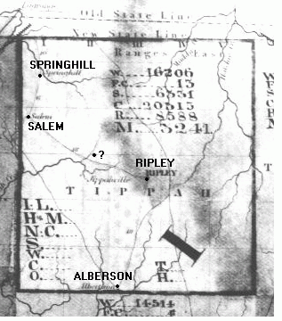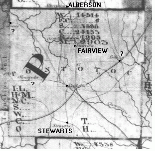

| Note the mention of the "Old State Line" and the "New State Line" in the map above. I don't know what year these two maps date to, however, the mention of "Alberson" and no mention of New Albany tells that they probably date to the early 1840's. The best I've been able to determine "Alberson" was probably located just northwest of New Albany near the intersection of modern day Moss Hill Drive and Davis Road. |
