|
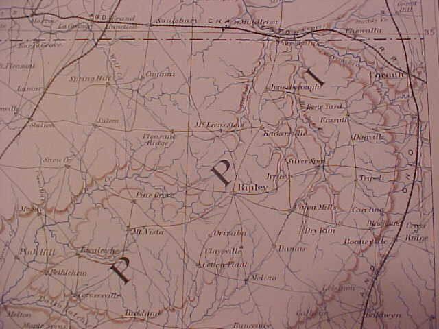
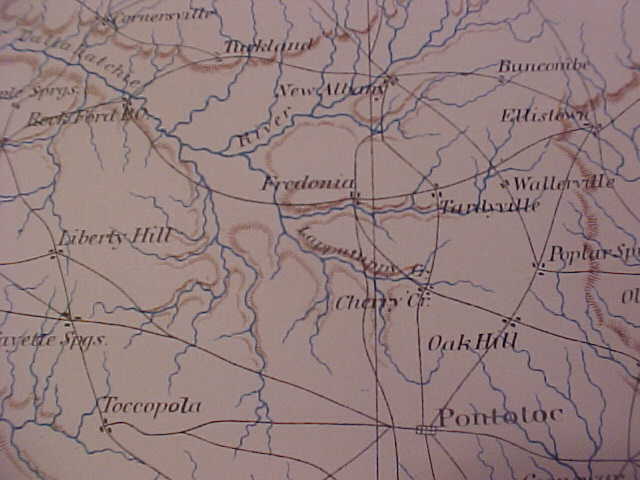
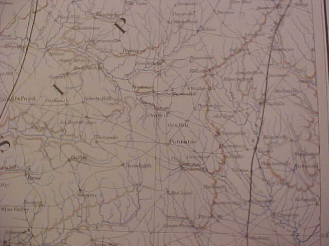
Maps contributed by Jack Sandberg of Nags Head, NC. These maps were scanned from "plate 154" of the "Official Atlas of the Civil War" printed by the U.S. Government over a century ago. These are by far the most interesting road maps of this area from that era that I've seen yet. A very special thanks goes to Jack for his contribution. If you're looking to purchase a rare map of any place in the USA...he's the guy to contact first. E-mail Jack here. There are 3 maps shown below. The top map shows the Tippah County area and up into Tennessee. The middle map covers the New Albany area and the bottom map shows Pontotoc County and the area around it. |